1
/
of
5
Garmin
Garmin HuntView Map Card with Birdseye - Clearance
Garmin HuntView Map Card with Birdseye - Clearance
$35.00 USD
Couldn't load pickup availability
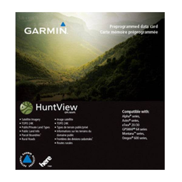
This map card has you covered with easy-to-use mapping features for hunters and outdoorsmen - no need for time-consuming downloads!
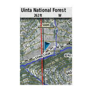
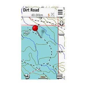
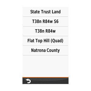
It includes boundaries for public and private land, thousands of routable roads and trails, and searchable points of interest.
Plus, it's compatible with Garmin and BaseCamp software for managing data and trip planning. Get ready to take your hunting game to the next level with this essential tool.
If you do not see your state - it is already sold out.
These map cards do NOT include property owner information.
These map cards work in Alpha 100, Alpha 200/200i, and Alpha 300/300i.
Share


